Winter Storm Blair, the first named storm of 2025, is set to bring treacherous conditions to up to 250 million people across 40 states. From heavy snowfall and hazardous ice to severe thunderstorms, the storm’s reach spans from the Plains to the East Coast. The National Weather Service warns of “considerable disruptions to daily life” and “dangerous or impossible driving conditions,” while frigid Arctic air promises to lock in the storm’s effects well into January. Here’s what to expect and how to prepare.
RELATED: This Winter Will Be Full of “Rapid-Fire Storms”.
Origins and Development
Shutterstock
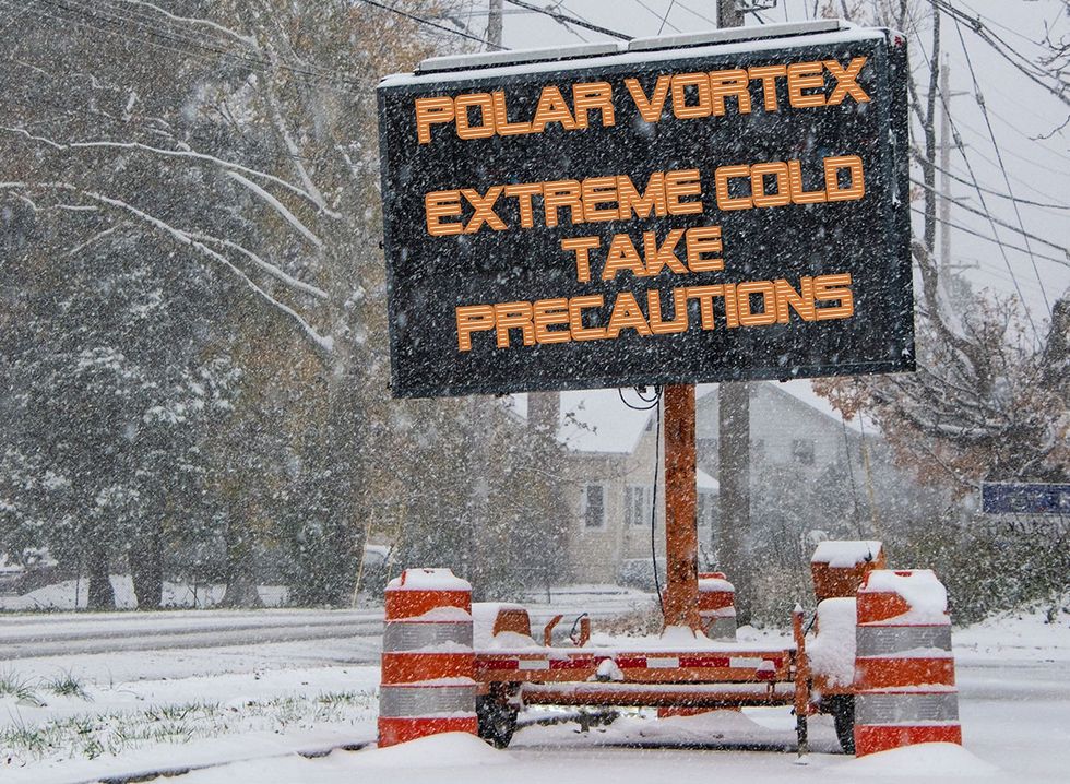
Blair is fueled by an Arctic Outbreak, a phenomenon where the polar vortex forces cold air southward into the U.S. High-pressure systems altering the jet stream’s path have enabled the storm to penetrate deeply into southern regions, making it unusually widespread.
Areas Most Affected

Heavy snow, ice, and freezing temperatures are expected from late Saturday through Monday, with cities like Kansas City, St. Louis, Indianapolis, and Baltimore anticipating 6 to 12 inches of snow. Some areas could see accumulations surpassing a foot. Hazardous ice is also a major concern, with portions of southern Missouri, Kentucky, and Illinois likely to face travel that’s “nearly impossible,” according to the National Weather Service.
Severe Storms and Flooding
iStock
While northern regions deal with snow, the southern side of Blair will bring thunderstorms and potential flooding. A Level 2 of 5 severe weather threat includes damaging winds, hail, and tornadoes in parts of Texas, Louisiana, and Mississippi. These storms come on the heels of deadly December weather, amplifying risks for recovery areas.
Lingering Cold and Safety Concerns

Once the storm moves on Monday, Arctic air will sweep in, plunging temperatures as much as 30 degrees below normal. This extended cold snap could last through mid-January, compounding dangers for those without power or heat. Residents are urged to monitor updates, avoid travel during peak storm periods, and ensure they have adequate supplies and heating options.
The National Weather Service continues to track the storm and advises staying prepared as Blair unfolds.


