Punxsutawney Phil was right: Winter is far from over. This week, the WBZ Weather Team at CBS News released a NEXT Weather Alert for a “kitchen sink” storm that will bring snow, ice, and rain to much of the Midwest and Northeast. This system is the first of three winter storms that are expected to make landfall over the next 10 days, in addition to the West’s forecasted flash floods. There’s a lot happening, so see how your region will be impacted below.
RELATED: Meteorologists Are Predicting a “Snow Drought” This Winter—Is Your Region Affected?
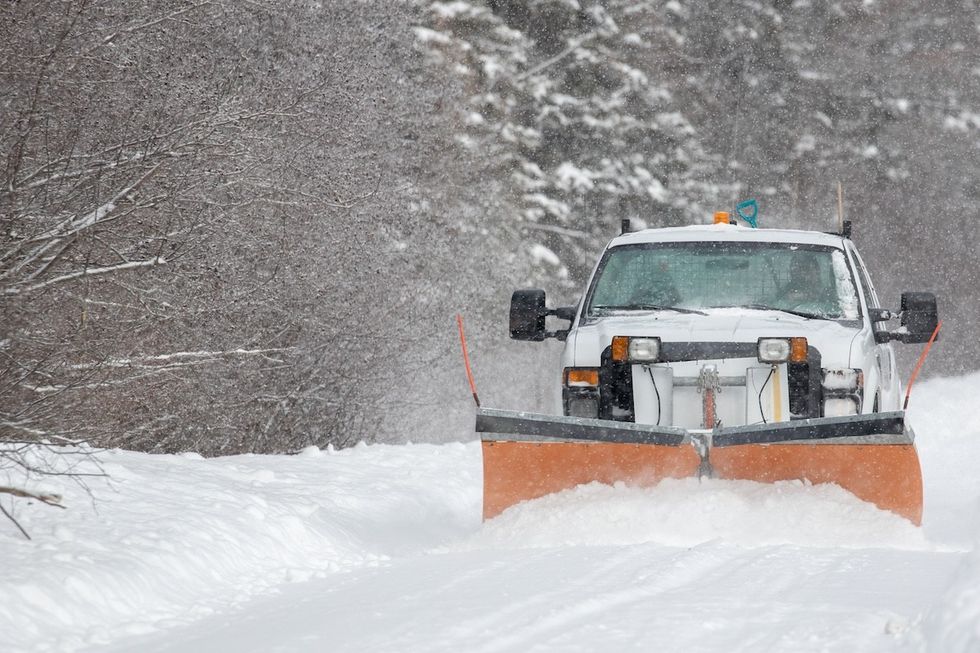
Winter Storm Freya is expected to make landfall on Wednesday.
Winter Storm Freya, a “wintry mess of ice and snow,” will touch down in the Midwest, Great Lakes, mid-Atlantic, and Northeast by Wednesday night, reports The Weather Channel. The atmospheric system is expected to bring freezing rain, sleet, and light snowfall (an average of three inches) and, in some regions, a combination of all three.
North Dakota, Minnesota, Wisconsin, Michigan, Maine, New Hampshire, Vermont, New York, New Jersey, Massachusetts, Connecticut, Rhode Island, and eastern Pennsylvania have the highest probability of snow between now and Thursday.
Most states will see a maximum of three to five inches of snow, while some areas (like upstate New York) could get up to eight. However, meteorologists say it’s also likely that snow will turn into a wintry mix with rain for folks from New York City to Boston.
Ice storms are also of concern, especially in Illinois, Indiana, Ohio, the Great Lakes region, and the mid-Atlantic. In the next 72 hours, central Pennsylvania and Baltimore have a “high” probability of getting close to an inch of ice, per The Weather Channel. This will make for “hazardous travel,” so be sure to check your local radar for traffic updates.
Meanwhile, an atmospheric river developing in the West will bring snow to the mountains and heavy rainfall. The Sierra Nevadas could get up to eight feet of snow, with flurries falling at “rates near two inches per hour,” reports The Washington Post. This storm will affect southern Oregon, Idaho, Montana, and northwestern Wyoming.
Pouring rain has prompted officials to release a flood watch alert for central California and Sacramento Valley.
A second storm will hit the Midwest and Northeast this weekend.
As Winter Storm Freya clears out, a second storm will take its place with a similar impact. Details are still developing, but The Weather Channel forecasts “snow and a stripe of ice” across the upper Midwest and Great Lakes to the mid-Atlantic and Northeast on Saturday.
Come Sunday, heavy snowfalls are predicted in upstate New York, New Hampshire, Vermont, Maine, the Great Lakes, and parts of Massachusetts. But again, the storm could lose momentum and bring in more rain than snow or ice in some areas.
The good news is this system is “a quick-mover,” so it’ll be over just as fast as it started.
A third storm could develop early next week.
More snow and ice could be headed our way next week, though only time will tell.
“Long-term computer model forecast guidance is hinting this active winter storm pattern might persist in the Midwest and East next week. That means one or more rounds of additional snow and ice are possible, but it’s too early for details,” reads a report from The Weather Channel.