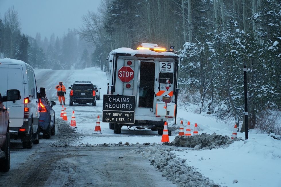
November has been unseasonably warm for much of the nation. In fact, during the first week of the month, the eastern two-thirds of the U.S. saw temperatures more than 10 degrees above average, as The Washington Post reported. But it’s a different story in the Western third of the country. The West Coast and the Rockies saw “cooler-than-average temperatures and a big early-season dump of snow,” WaPo noted. And now, California and the Pacific Northwest are facing an impending “bomb cyclone” that could bring up to 15 inches of snow, flash flooding, and high winds this week.
RELATED: Winter Storm This Week Could “Crumble Airports” for Thanksgiving—Is Your Region Affected?
An atmospheric river off the coasts of Northern California and parts of Oregon is fueling the storm. These “rivers in the sky” transport huge amounts of water vapor, releasing it as rain or snow upon landfall, as the National Oceanic and Atmospheric Administration (NOAA) explains.
But as The Weather Channel reports, this is a “strong, long-duration atmospheric river” that’s “packed with copious amounts of rain and mountain snow.”
Ben Noll, a meteorologist who reports for The Washington Post, writes that “it is expected to deliver 10 to 20 inches of rain to California’s northern Coast Ranges.”
Moreover, a low-pressure weather system in the same area is undergoing bombogenesis (hence the term “bomb cyclone”), which means “its pressure will have dropped by 24 or more millibars in 24 hours or less” and “intensifying quickly.”
“The intensity of the storm, according to its minimum central air pressure, is consistent with that of a Category 4 hurricane—which speaks to the ferocious nature of its expected impacts,” writes Noll.
Northern California (north of San Francisco) and southwest Oregon should “be aware of the risk of flash flooding at lower elevations and winter storms at higher elevations,” said Richard Bann, a meteorologist with the National Weather Service Weather Prediction Center, in speaking with the Associated Press (AP). “This is going to be an impactful event.”
The Weather Channel adds that this region could experience mudslides and rock slides, with rainfall predictions of eight to 12 inches, starting Tuesday evening and possibly lasting through the weekend.
RELATED: “Witch Storms” Are Predicted This Month, Here’s Where They May Hit.
Higher elevations of the Cascades, Siskiyou, and Sierra Mountains of Northern California could face up to 15 inches of snow and wind gusts topping 75 mph, with peak intensity expected Wednesday.
From late Tuesday to early Wednesday, “Coastal parts of Northern California, Oregon and Washington might see [wind] gusts over 60 or 70 mph at times,” The Weather Channel predicts. “Stronger gusts will also affect inland areas through the Cascades and its foothills.”
Southern California may also see high winds, which could raise the wildfire risk, the AP notes.

